| comments |
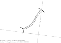
Why highlight Salliarutsip Sermia? Because Jakobshavn Isbræ needs to learn to share the spotlight. I like this, but I suspect only those who already know what they're looking at are able to interpet it. Either drawing the fjord walls, or adding a few more labels (ice sheet; ocean) would help. Also, on more graticule line, either lat or long to help with the lack of scalebar (in case main text isn't enough to indicate that the distance between the two lines is 12 km). I'd quite like to make a series of these, but not sure how I'd represent those on the east coast where retreat marches westwards, and the text direction would be contradicting the retreat direction.
|
